
Flood & Fauna
France's major floods and the protected species recorded in their path.
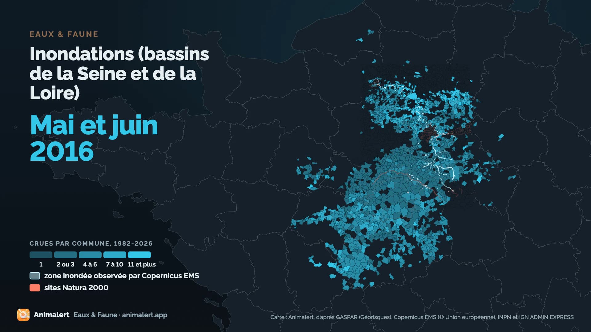
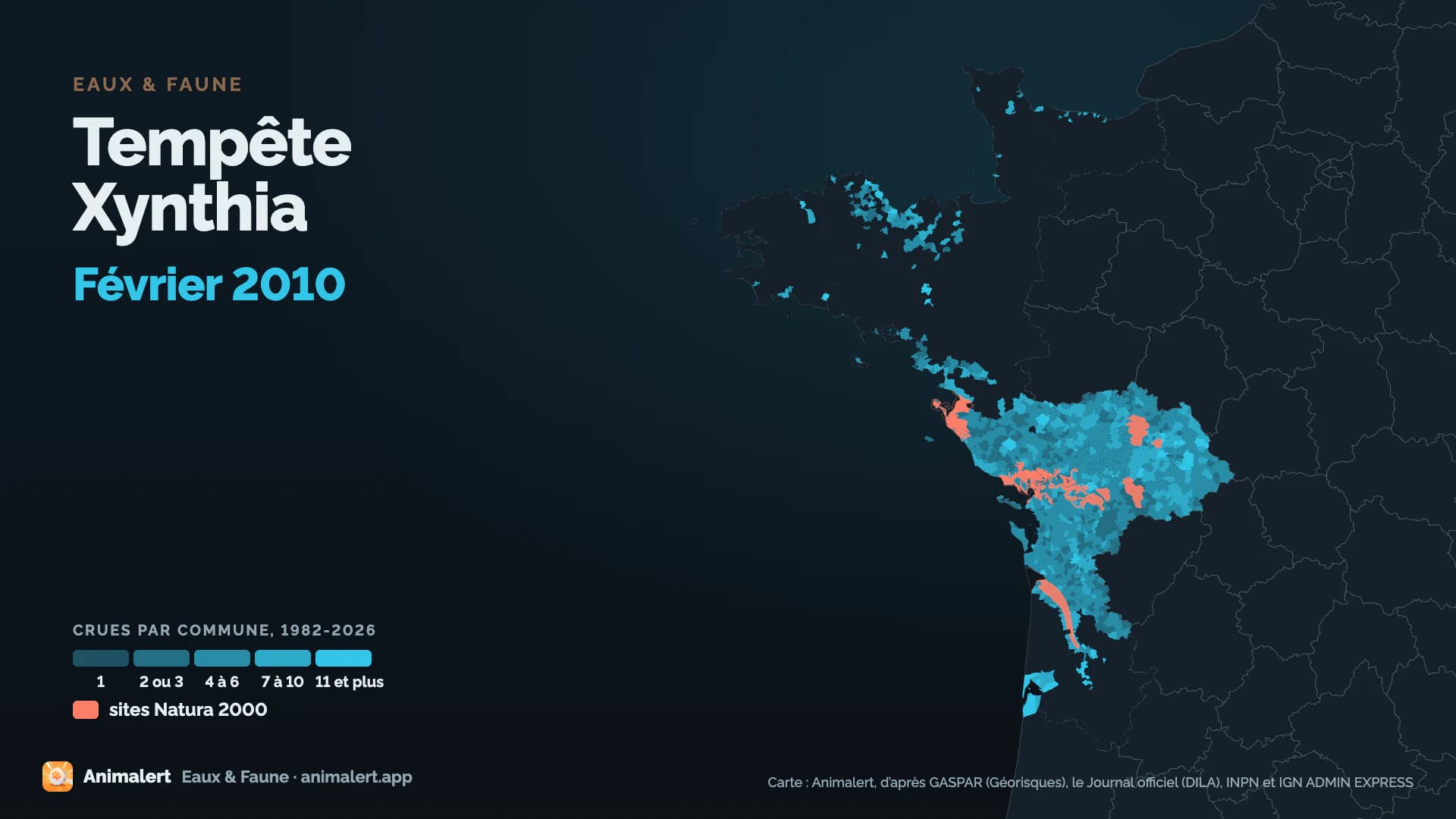
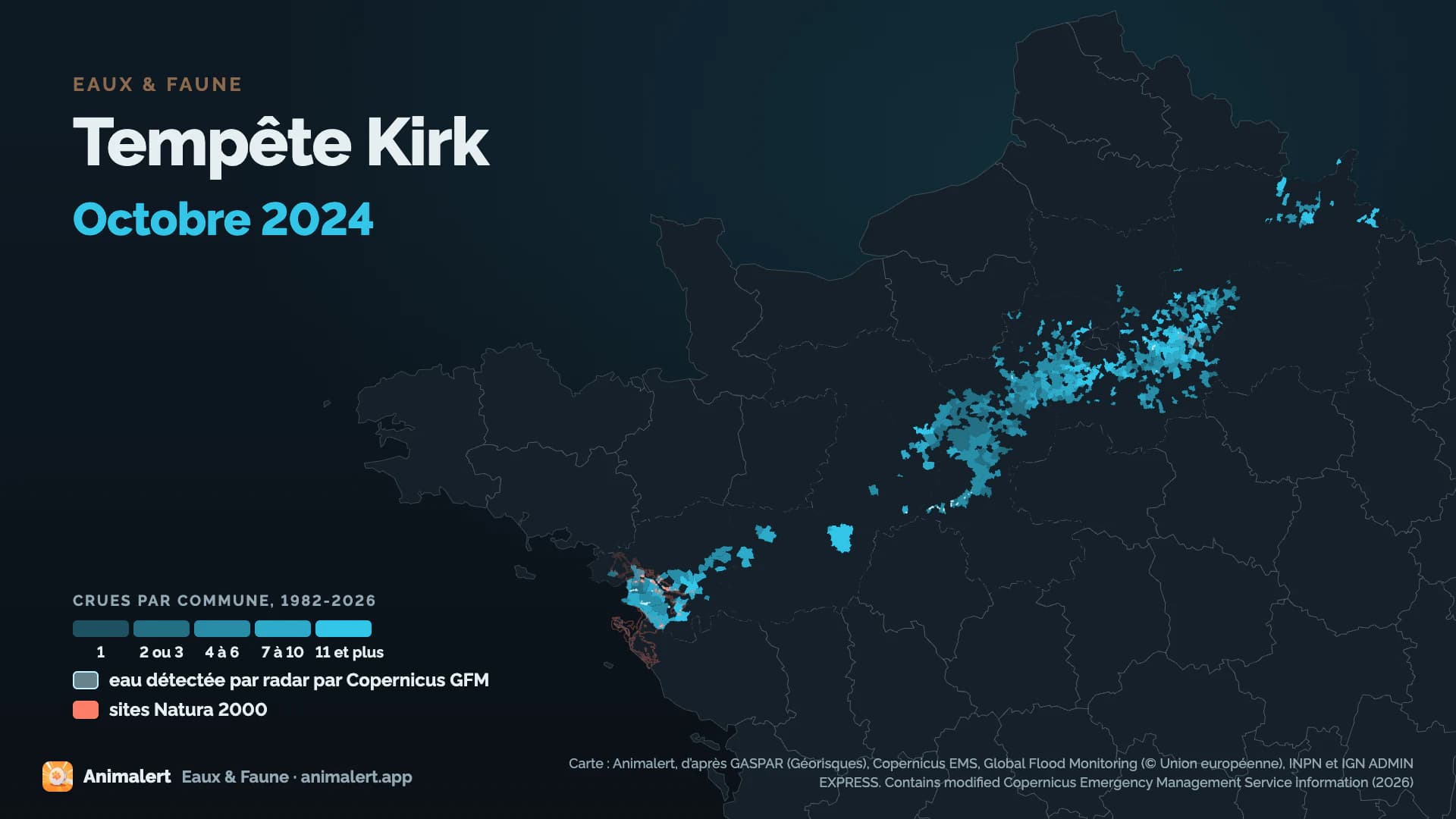
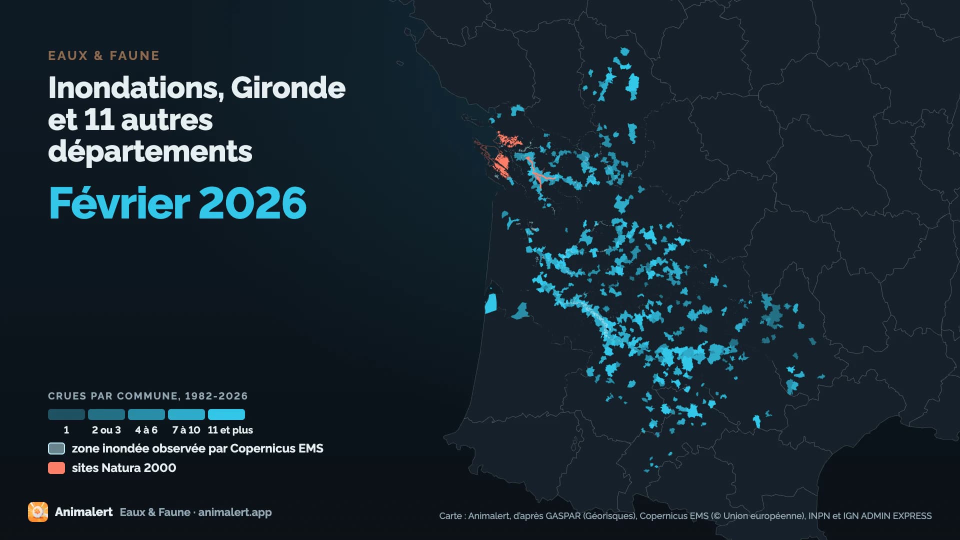
The map fills the declared communes of the 8 largest floods, taken whole, dry sectors included: this blue is not the water.
Recognised and listed


A project labelled by the French StateNational Resilience Day 2026 (Journée nationale de la résilience)

Registered with GBIFDerived dataset, DOI 10.15468/dd.ta4vkx
The trailer
Playing loads the video from YouTube.
34,483commune codesappear in at least one natural disaster (flood) order between 1982 and 2026, each one a commune within its boundaries of 1 January 2026
6,872 floods rebuilt from these orders in all.
Each shape is a département. The brighter it is, the more floods its communes count.
- < 3
- 3-4
- 4-5.5
- 5.5 and over
A declared commune was not flooded across its whole territory.
653protected animal species recorded in the perimeters of the 118 major floods
In the ten years before each flood, counting the declared communes. The most threatened come first. Each photo opens the species' sheet on the INPN.
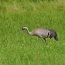 Critically endangered, breeding birdsCommon Crane
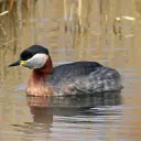 Critically endangered, breeding birdsRed-necked Grebe
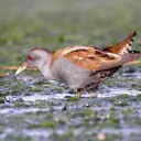 Critically endangered, breeding birdsLittle Crake
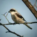 Critically endangered, breeding birdsLesser Grey Shrike
- Fish, molluscs, crayfishCritically endangeredGrande mulette
- Fish, molluscs, crayfishCritically endangeredHallis shad
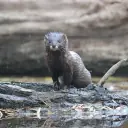 Critically endangeredEuropean Mink
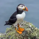 Critically endangered, breeding birdsAtlantic Puffin
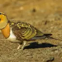 Critically endangered, breeding birdsPin-Tailed Sandgrouse
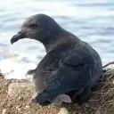 Critically endangered, RéunionMascarene Petrel
- BirdsCritically endangered, RéunionReunion Cuckooshrike
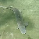 Critically endangeredSturgeon
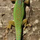 Critically endangered, RéunionGecko vert de Manapany
- Fish, molluscs, crayfishCritically endangeredHélix de Corse
- MammalsCritically endangeredBrown Bear
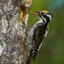 Critically endangered, breeding birdsThree-Toed Woodpecker
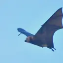 Critically endangered, RéunionGreater Mascarene Flying Fox
- InsectsCritically endangeredMélibée
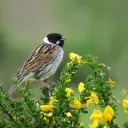 Endangered, breeding birdsReed Bunting
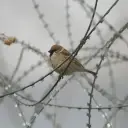 Endangered, breeding birdsEurasian Tree Sparrow
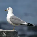 Endangered, breeding birdsMew Gull
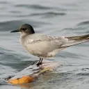 Endangered, breeding birdsBlack Tern
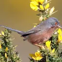 Endangered, breeding birdsDartford Warbler
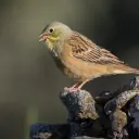 Endangered, breeding birdsOrtolan Bunting
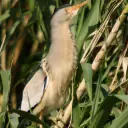 Endangered, breeding birdsLittle Bittern
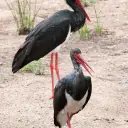 Endangered, breeding birdsBlack Stork
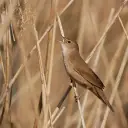 Endangered, breeding birdsSavi's Warbler
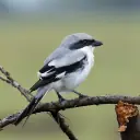 Endangered, breeding birdsGreat Grey Shrike
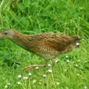 Endangered, breeding birdsCorn Crake
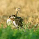 Endangered, breeding birdsLittle Bustard
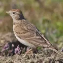 Endangered, breeding birdsGreater Short-toed Lark
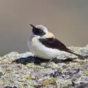 Endangered, breeding birdsBlack-eared Wheatear
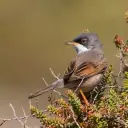 Endangered, breeding birdsSpectacled Warbler
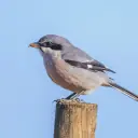 Endangered, breeding birdsSouthern Grey Shrike
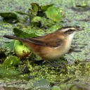 Endangered, breeding birdsMoustached Warbler
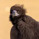 Endangered, breeding birdsCinereous Vulture
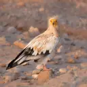 Endangered, breeding birdsEgyptian Vulture
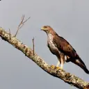 Endangered, breeding birdsBonelli's Eagle
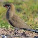 Endangered, breeding birdsCollared Pratincole
- Fish, molluscs, crayfishEndangeredSea Lamprey
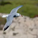 Endangered, breeding birdsAudouin's Gull
 Endangered, breeding birdsYelkouan Shearwater
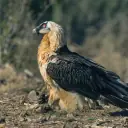 Endangered, breeding birdsBearded Vulture
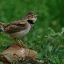 Endangered, breeding birdsCalandra Lark
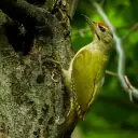 Endangered, breeding birdsGrey-Headed Woodpecker
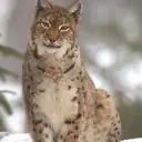 EndangeredEurasian Lynx
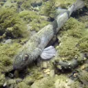 EndangeredApron
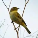 Endangered, breeding birdsPouillot ibérique
- Fish, molluscs, crayfishEndangeredFreshwater Pearl Mussel
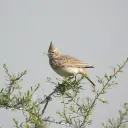 Endangered, breeding birdsThekla Lark
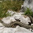 EndangeredMeadow Viper
- Fish, molluscs, crayfishEndangeredNoble Crayfish
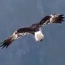 Endangered, RéunionMalagasy Marsh Harrier
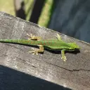 Endangered, RéunionGecko de Bourbon
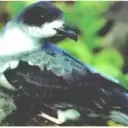 Endangered, RéunionBarau's Petrel
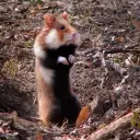 EndangeredBlack-Bellied Hamster
- MammalsEndangeredPond Bat
- InsectsEndangered, RéunionPapillon la Pâture
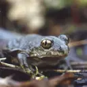 EndangeredCommon Spadefoot
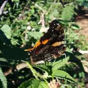 Endangered, RéunionVanesse de l’Obetie
- InsectsEndangeredDamier du Frêne
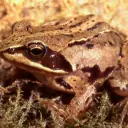 EndangeredMoor Frog
- Fish, molluscs, crayfishEndangeredWeatherfish
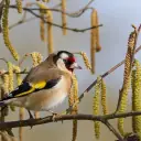 Vulnerable, breeding birdsEurasian Goldfinch
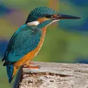 Vulnerable, breeding birdsCommon Kingfisher
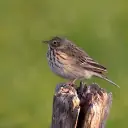 Vulnerable, breeding birdsMeadow Pipit
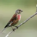 Vulnerable, breeding birdsCommon Linnet
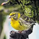 Vulnerable, breeding birdsEuropean Serin
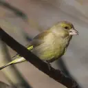 Vulnerable, breeding birdsEuropean Greenfinch
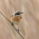 Vulnerable, breeding birdsWhinchat
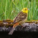 Vulnerable, breeding birdsYellowhammer
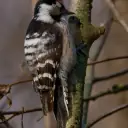 Vulnerable, breeding birdsLesser Spotted Woodpecker
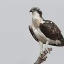 Vulnerable, breeding birdsOsprey
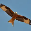 Vulnerable, wintering birdsRed Kite
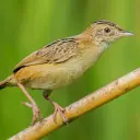 Vulnerable, breeding birdsZitting Cisticola
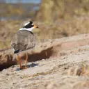 Vulnerable, breeding birdsRinged Plover
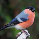 Vulnerable, breeding birdsEurasian Bullfinch
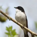 Vulnerable, breeding birdsPied Flycatcher
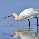 Vulnerable, wintering birdsEurasian Spoonbill
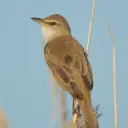 Vulnerable, breeding birdsGreat Reed Warbler
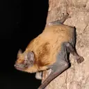 VulnerableNoctule Bat
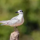 Vulnerable, breeding birdsWhiskered Tern
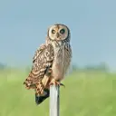 Vulnerable, breeding birdsShort-eared Owl
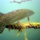 VulnerableNorthern pike
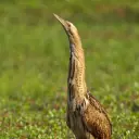 Vulnerable, breeding birdsGreat Bittern
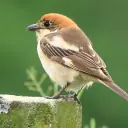 Vulnerable, breeding birdsWoodchat Shrike
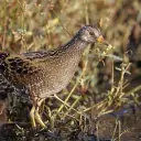 Vulnerable, breeding birdsSpotted Crake
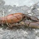 VulnerableFreshwater White-clawed Crayfish
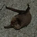 VulnerableSchreiber's bat
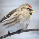 Vulnerable, breeding birdsCommon Redpoll
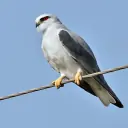 Vulnerable, breeding birdsBlack-Shouldered Kite
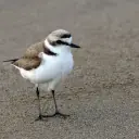 Vulnerable, breeding birdsKentish Plover
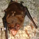 VulnerableGiant Noctule
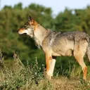 VulnerableGray Wolf
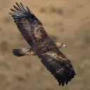 Vulnerable, breeding birdsGolden Eagle
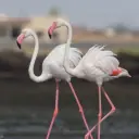 Vulnerable, breeding birdsGreater Flamingo
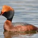 Vulnerable, wintering birdsSlavonian Grebe
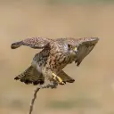 Vulnerable, breeding birdsLesser Kestrel
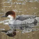 Vulnerable, wintering birdsSmew
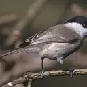 Vulnerable, breeding birdsMésange boréale
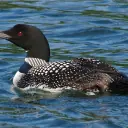 Vulnerable, wintering birdsGreat Northern Diver
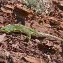 VulnerableOcellated Lizard
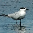 Vulnerable, breeding birdsGull-billed Tern
 Vulnerable, breeding birdsBlack-legged Kittiwake
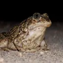 VulnerableWestern Spadefoot
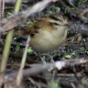 Vulnerable, passage birdsAquatic Warbler
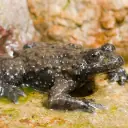 VulnerableYellow-bellied Toad
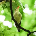 Vulnerable, breeding birdsIcterine Warbler
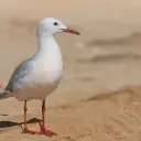 Vulnerable, breeding birdsSlender-billed Gull
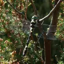 VulnerableCordulie splendide
- Fish, molluscs, crayfishVulnerableGrayling [fish]
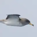 Vulnerable, breeding birdsCory's Shearwater
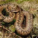 VulnerableAdder
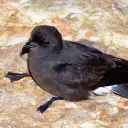 Vulnerable, breeding birdsEuropean Storm-Petrel
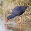 Vulnerable, breeding birdsPurple Swamphen
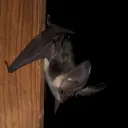 VulnerableAlpine Long-eared bat
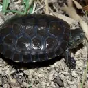 VulnerableSpanish Terrapin
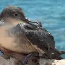 Vulnerable, passage birdsBalearic Shearwater
- Fish, molluscs, crayfishVulnerableEuropean river lamprey
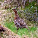 Vulnerable, breeding birdsWestern Capercaillie
Photos: Wikimedia Commons, each under its own licence (CC BY, CC BY-SA, CC0, public domain). Credit for each photo
423protected animal species recorded in the 57 observed flooded areas, in the ten years before each flood
Counting the declared communes of the 61 other major floods as well: 653 protected animal species.
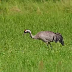
Hover over or tap a dot to meet its species.
In France, most wild birds are protected, game species aside. For fish, national protection (order of 8 December 1988) covers their eggs and spawning grounds: several, such as the pike and the brown trout, are fished legally.
Observations published under an open licence, recorded in the ten years before each flood, some known only to within a few kilometres, up to 10 km, when their published position is blurred or given by grid square. They tell which species were reported there, not what became of each animal.
49of the 56 observed flooded areas in mainland Franceoverlap at least one hectare of a Natura 2000 site or of regulatory protection
Over these 56 areas, the median share of their surface in Natura 2000 or under regulatory protection is 31.0%. 16 of them have more than half of their surface in Natura 2000 or under regulatory protection.
Natura 2000, nature reserves, national park cores, biotope protection orders.
Many wetland Natura 2000 sites are drawn on the rivers' floodplains: a flooded area covering a large share of them is to be expected.
The heaviest rain in one day, flood by flood
Each column is a major flood, its length the heaviest rain Météo-France recorded in one day for that flood.
On 2 October 2020, the Météo-France station at Saint-Martin-Vésubie recorded 513 millimetres of rain in a single day, the heaviest daily rain recorded for a major flood in mainland France in the dataset.
Rain: Météo-France, daily rainfall recorded at the stations of its network. For each flood, the heaviest recorded in one day in its departments.
The major floods, year after year
Each flood spreads out from its centre: the more communes it had declared, the more ripples it sends. Scroll to move through the years.
The map draws the 114 major floods of mainland France; the 4 overseas floods are not on it. Each year, the three floods with the most communes declared have a card here; all 118 are in the full list.
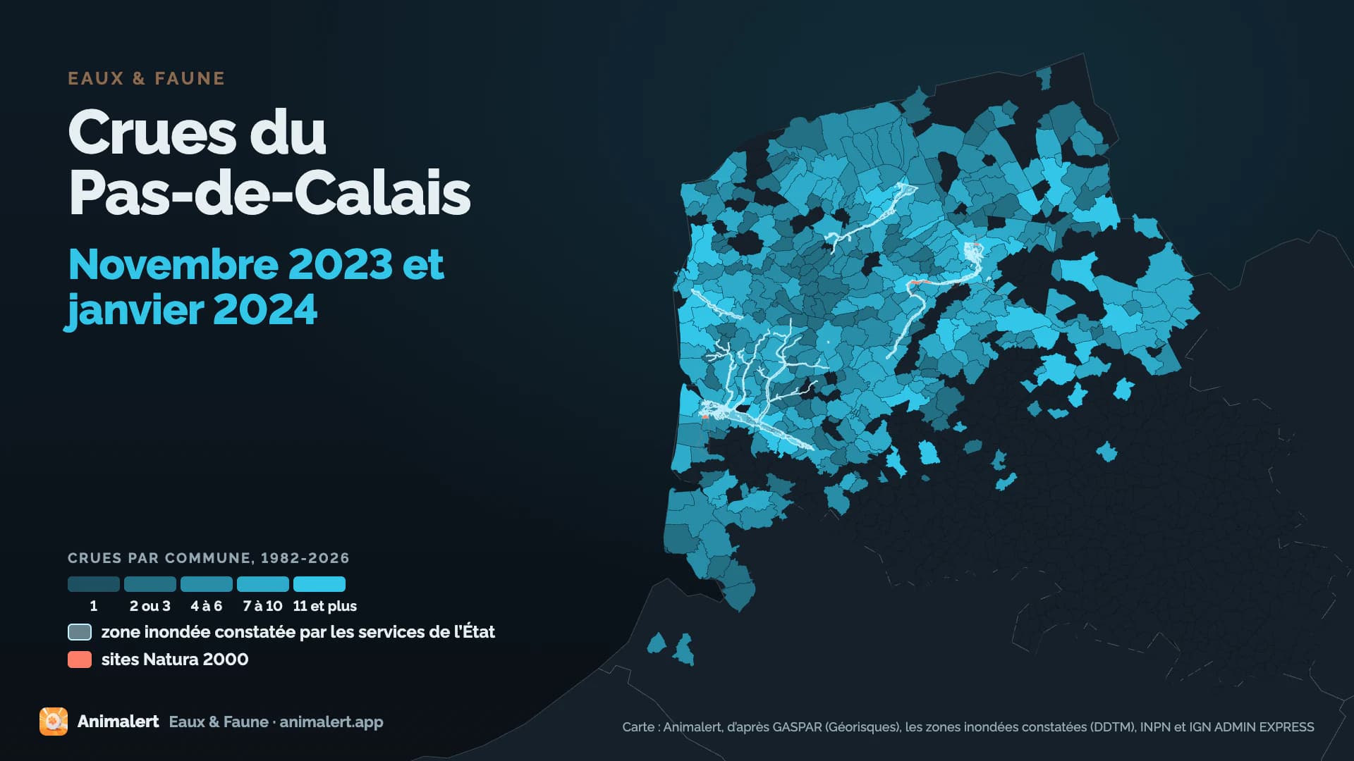
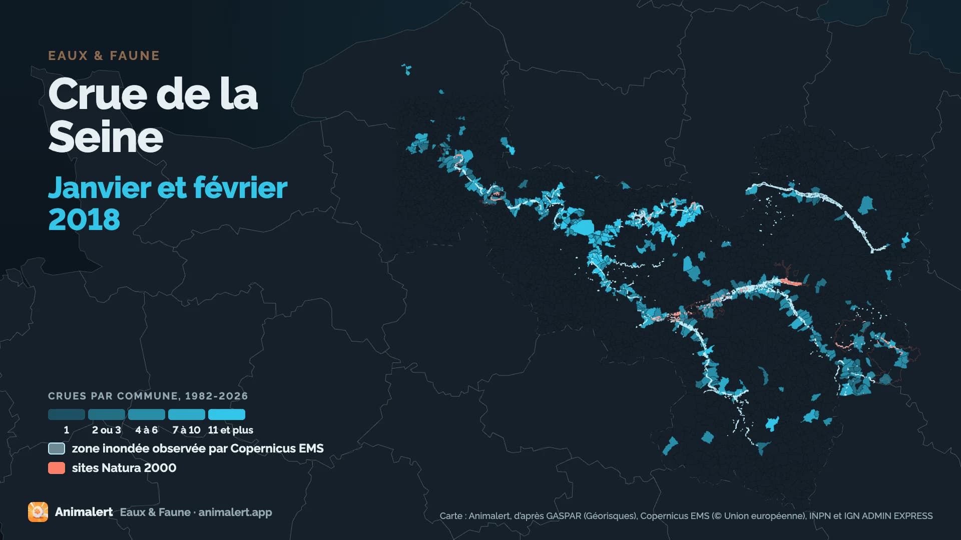
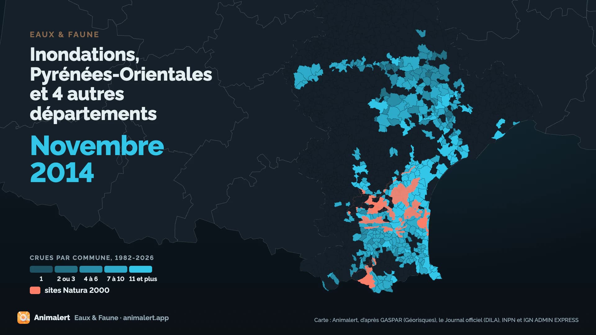
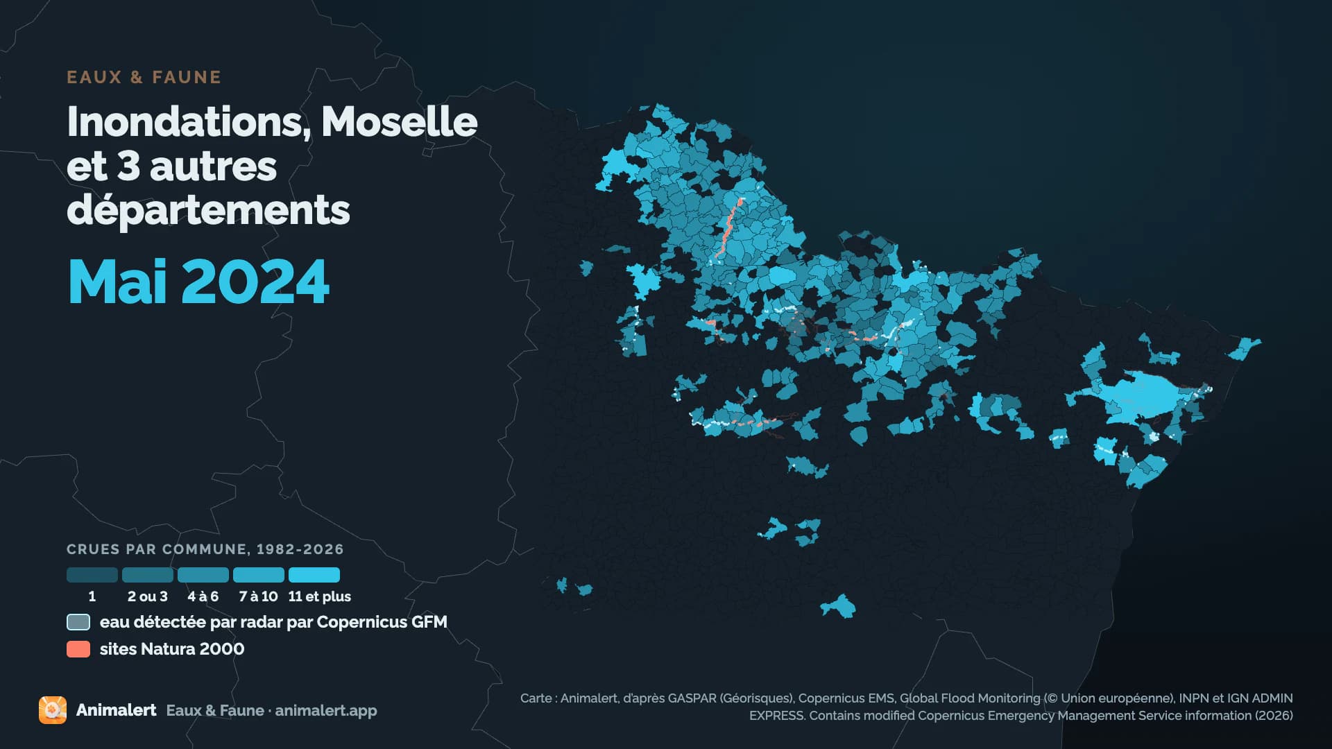
The blue draws the observed water for 56 floods (zones mapped by State services, Copernicus EMS or Copernicus GFM). For the other 58, Xynthia among them, with no observed zone, it draws the declared communes whole, dry sectors included.
The major floods, year after year
Each flood spreads out from its centre: the more communes it had declared, the more ripples it sends. Scroll to move through the years.
The map draws the 114 major floods of mainland France; the 4 overseas floods are not on it. Each year, the three floods with the most communes declared have a card here; all 118 are in the full list.
The blue draws the observed water for 56 floods (zones mapped by State services, Copernicus EMS or Copernicus GFM). For the other 58, Xynthia among them, with no observed zone, it draws the declared communes whole, dry sectors included.
The floods appear here, in the order they came.
One file per major flood
The eight major floods with the most communes declared since 2010, each with its own file.
- Seine-Loire163protected animal species recorded1,487communesLoiret, Seine-et-Marne and 22 other départements · 27 May 2016
- Xynthia401protected animal species recorded1,438communesCharente-Maritime, Vienne and 10 other départements · 27 February 2010
- Kirk125protected animal species recorded627communesEure-et-Loir, Seine-et-Marne and 14 other départements · 6 October 2024
- Gironde296protected animal species recorded607communesGironde, Lot-et-Garonne and 10 other départements · 9 February 2026
- Pas-de-Calais152protected animal species recorded390communesPas-de-Calais, Nord and Somme · 26 October 2023
- Seine231protected animal species recorded381communesSeine-et-Marne, Aube and 11 other départements · 15 January 2018
- Pyrénées-Orientales398protected animal species recorded375communesPyrénées-Orientales, Aude and 3 other départements · 24 November 2014
- Moselle13protected animal species recorded370communesMoselle, Bas-Rhin and 2 other départements · 14 May 2024
Maps: Animalert, from GASPAR (Géorisques), the Journal officiel (DILA), the observed flood zones (DDTM), Copernicus EMS and Copernicus GFM (© European Union), INPN and IGN ADMIN EXPRESS. Contains modified Copernicus Emergency Management Service information (2026)
See all 118 major floodsWhere these figures come from
A commune counts for a flood when an order declares it a natural disaster for flooding that occurred during that flood. A species is recorded in a flood's perimeter when an observation published under an open licence was made there before the flood, to within a few kilometres, up to 10 km, when its published position is blurred or given by grid square.
Sources
- GASPARThe database of natural disaster orders, commune by commune (Géorisques): the backbone of every event.
- Journal officielThe orders themselves, for the dates and communes the database leaves out.
- Observed flood zonesFlooded areas mapped by State services (DDTM) after a flood.
- Copernicus EMS and GFMWater observed after a flood: EMS from satellite images, every map of an activation combined, GFM by satellite radar (Sentinel-1).
- Météo-FranceDaily rainfall recorded at the network's stations.
- Hub'EauRiver discharge at hydrometric stations.
- INPNFrance's national natural heritage inventory (PatriNat): protected areas, ZNIEFF, protection status and the Red List.
- GBIFDated, georeferenced wildlife observations, under CC0 or CC BY only.
- ICPEClassified livestock installations, at the point Géorisques gives.
- SIRENELivestock businesses and veterinary practices, at their declared address (Insee).
- RNAThe national register of associations: animal protection and wildlife associations.
- AgresteLivestock herds from the 2020 farm census, commune by commune.
What this data tells
- Which communes each flood had declared a natural disaster, and when.
- How much rain fell, at its heaviest, in each flood's départements.
- Which farms, animal protection associations and protected areas lie today in each flood's perimeter.
- Which protected species had been recorded there before the flood.
What it does not tell
- How many animals died: the dataset places establishments registered today, it does not say whether they were flooded.
- What became of each species recorded: an observation says a species was reported there before the flood, not what became of it.
- Where the water rose in each commune: a declared commune was not flooded across its whole territory.
- The floods before 2010 in detail: they count in the totals, without a file of their own.
- All of 2026: the year counts the decrees published in the Journal officiel up to 30 September 2026.
Licence
Etalab Open Licence 2.0. Reuse the data freely, crediting Flood & Fauna, Animalert.
Everything is downloadable
Tables, communes, water extents and the method note, updated after each major flood.
Download the full datasetdata.gouv.fr- CSVFlood tableinondations-biodiversite.csv
- JSONFlood tableinondations-biodiversite.json
- GeoPackageFlood extentsinondations-biodiversite.gpkg
- CSVCommunes, and their declared floods since 1982communes-inondations.csv
- CSVCommunes of each floodcommunes-par-crue.csv
- CSVOrders of each flood, with their NOR numberarretes-par-crue.csv
- CSVManual rules for grouping the ordersregles-manuelles.csv
- CSVProtected areas, flood by floodespaces-proteges-par-crue.csv
- CSVSpecies recorded, flood by floodespeces-par-crue.csv
- CSVSpecies removed by the quality filter, with the reasonespeces-exclues.csv
- CSVBird records by month, behind their Red List categoryespeces-oiseaux-mois.csv
- CSVFarms, vets and associations, flood by floodexposition-par-crue.csv
- CSVRainfall and river flows, flood by floodcontexte-hydro.csv
- CSVSource GBIF datasetsgbif-derived-dataset.csv
- PDFMethod notemethodologie.pdf
- JSONKey figures, with their file and filterchiffres-cles.json
- JSONQuality checkscontrole-qualite.json
Flood & Fauna is a research project by Animalert, the network for reporting lost and found animals.